Current total gross floor area (mq):
270.000
Occupation status:
State of Maintenance:
Excellent
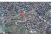
Address: via Alberelli
City: argenta
State/County: Ferrara
Zip: 44011
Country: Italia
Open In Google Maps
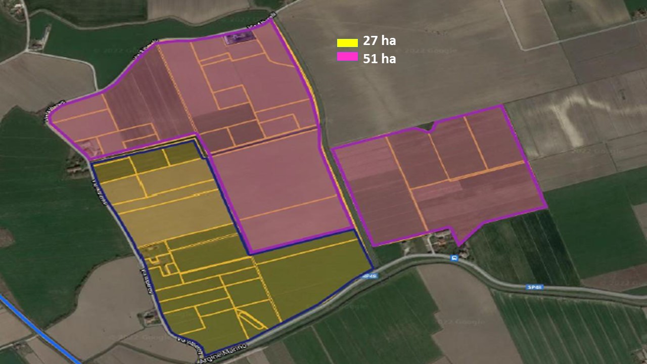


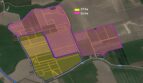


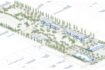
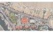
The 27 ha area of via Alberelli is delimited by natural and anthropic boundaries, such as via Alberelli to the west, the drainage level to the north and via Argine Marino and the Fossa Marina to the south; the latter is subject to the landscape constraint pursuant to art. 142 of Legislative Decree 42/2004. The possible expansion area, of a further 51 hectares, extends to the north beyond the drainage level and to the east beyond the drainage Arenare, both state property.
| Current state | Area (mq) |
|---|---|
| Land: | 270.000 |
| To develop | Area (mq) |
|---|---|
| Industrial: | 270.000 |
| Extension: | 510.000 |
Available parking:
Yes
Total covered area (mq):
270000