Sectors
Contract/dissolution type:
State of Maintenance:
Ottimo
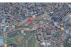
Address: via Stalingrado
City: Bologna
State/County: Bologna
Zip: 40128
Country: Italia
Open In Google Maps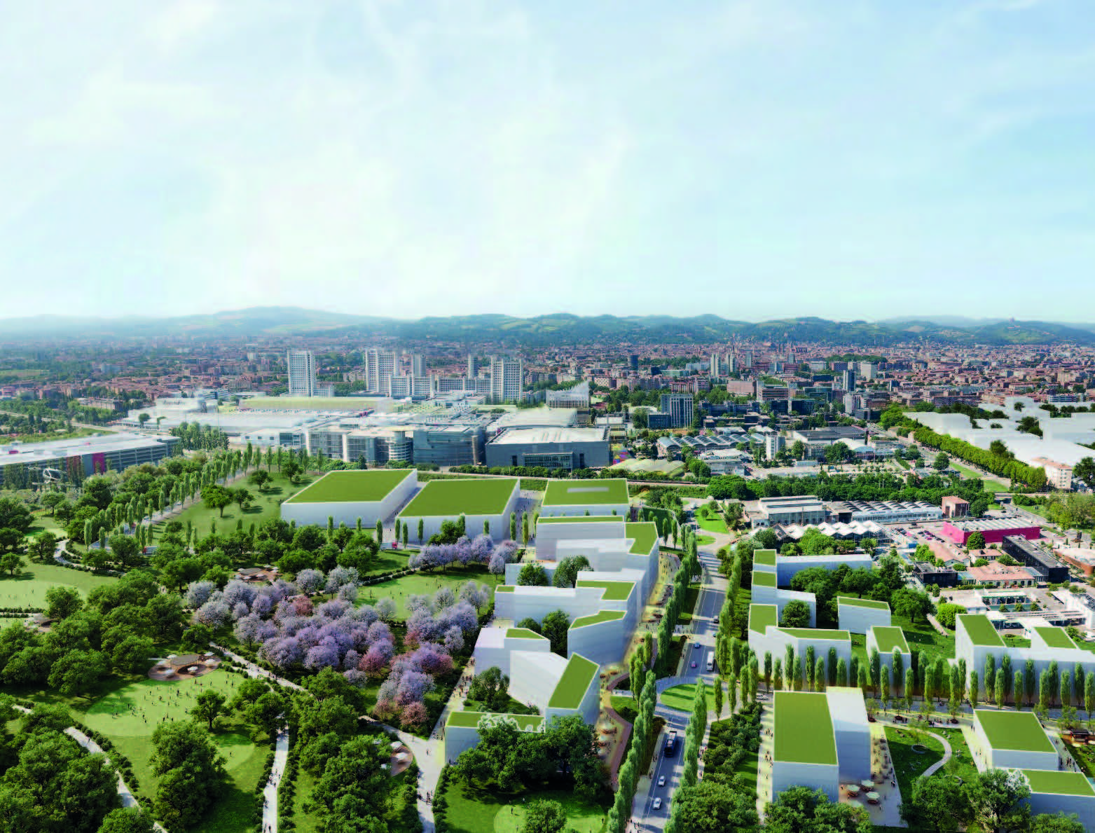
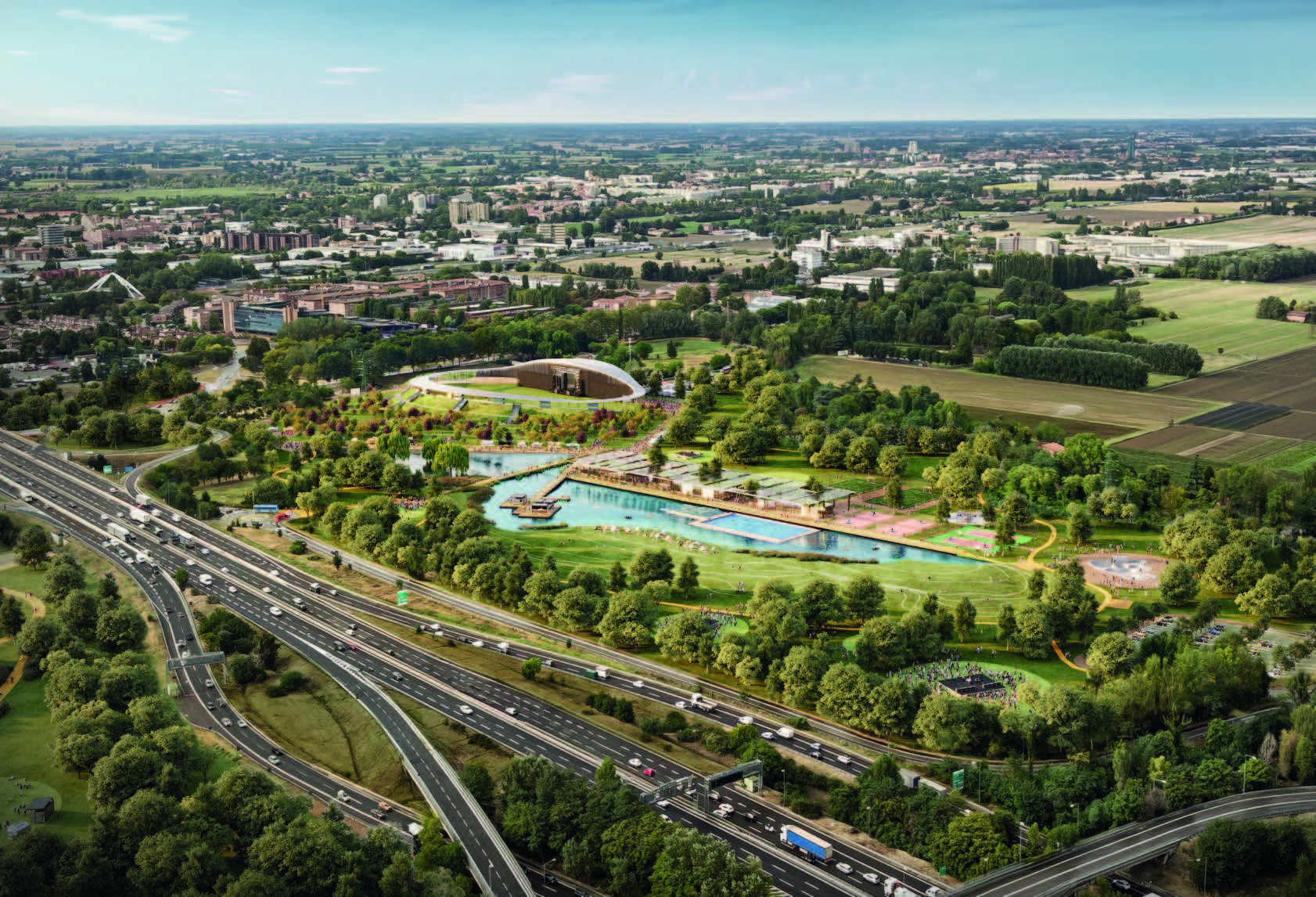
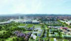
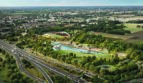
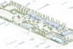
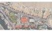
Bologna, City of Knowledge is a strategic project encompassing the TEK District, a sustainable urban regeneration programme focusing on technology, entertainment and knowledge including multiple areas in the north quadrant of Bologna. This district includes assets such as the Tecnopolo Manifattura – Data Valley Hub, research centers, and universities. This hub of innovation and knowledge is located on the Via Stalingrado axis, well connected by public transport and close to the railway station. The investment opportunities concern the regeneration and expansion of the area of the trade fair district, as well as the regeneration of dismissed artisanal, productive and military areas with mixed intended use including hospitality, advanced services, commercial, entertainment, student/social housing.
In particular, a Digital Village will be built a few meters from the Tecnopolo Manifattura, creating a new hub of over 18,000 m2 for offices, spaces, and innovative housing. The regeneration of the trade fair district includes many properties owned by BolognaFiere and is primarily concentrated in three zones. The northwest zone includes large areas with opportunities for new advanced services as well as mixed use with temporary residences. The west zone is intended for the regeneration of a production area.
The southwest zone is available for accommodations, entertainment, and retail.
| Current state | Area (mq) |
|---|---|
| Disused areas/real estate and greenfield areas: | over 175.000 smq |
| To develop | Area (mq) |
|---|---|
| To create and host different functions: residences for residential use, offices, hotels, commerce, student residences and facilities for research and well-being: | over 200.000 smq |
Available parking:
Si
Parking:
Pubblico